
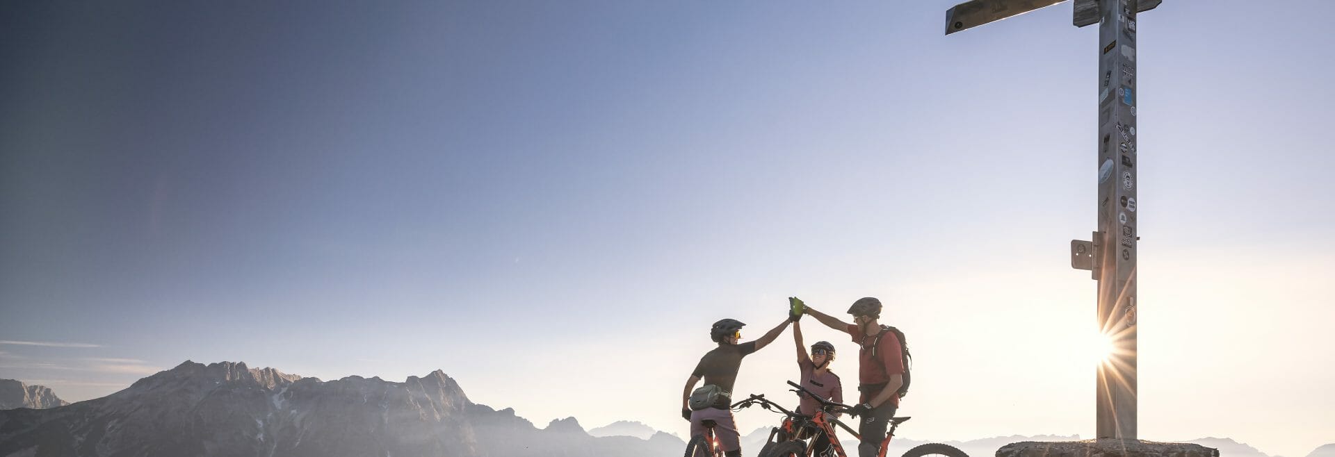
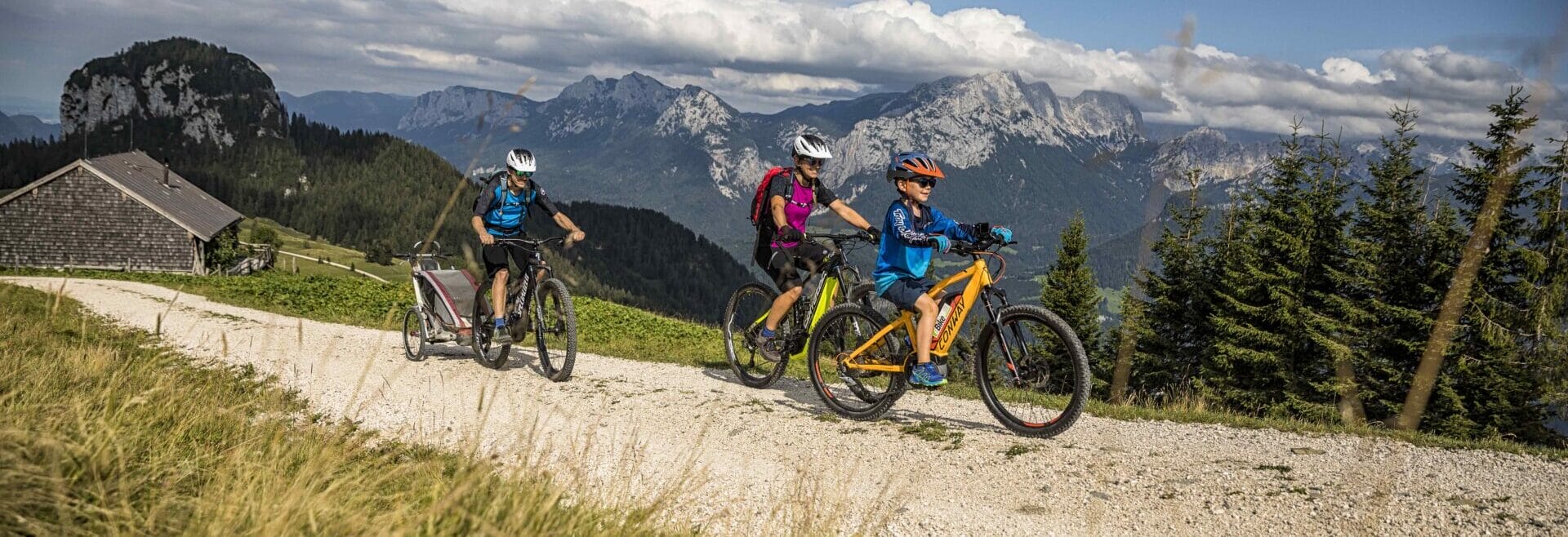
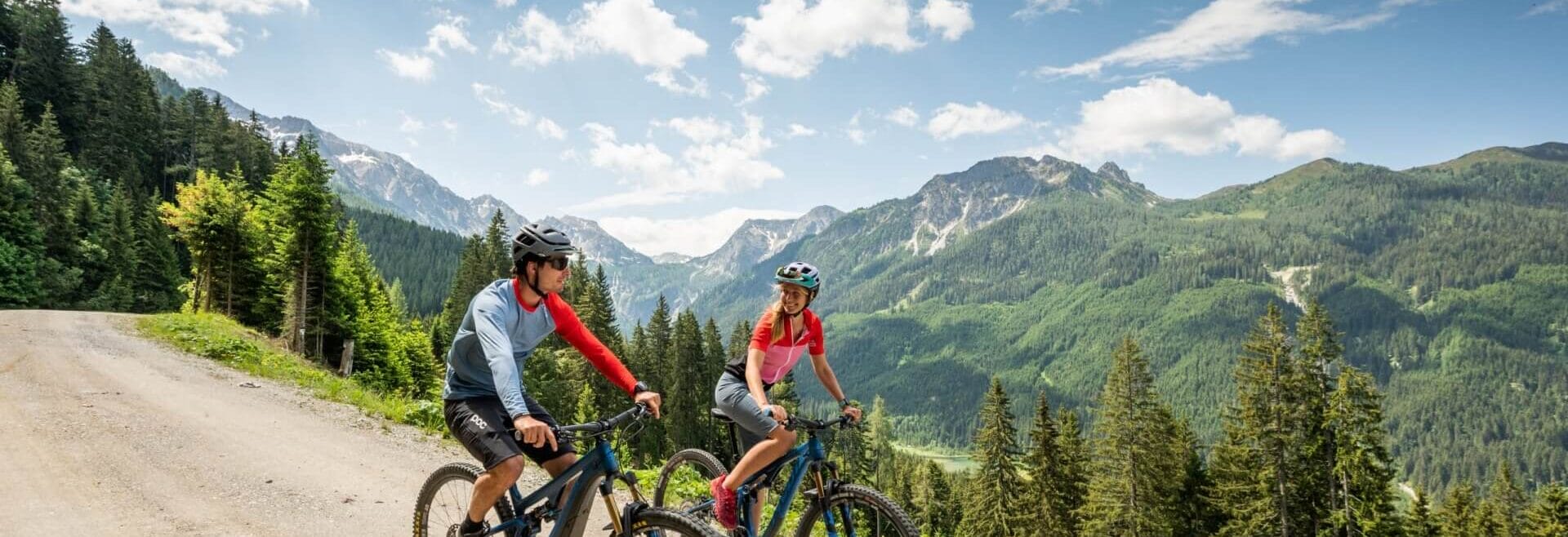
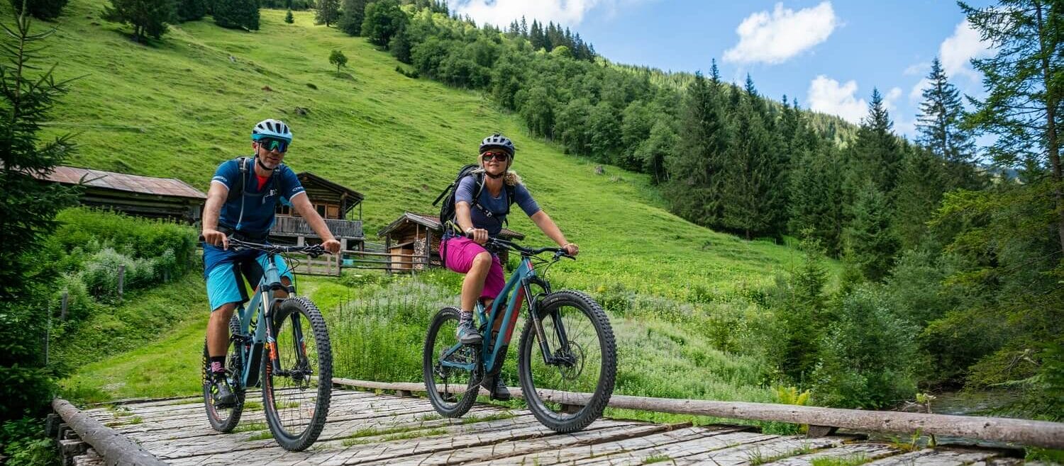
SalzburgerLand and biking are inseparable. Decades ago, pioneers of the sport conquered the peaks and slopes here, ushering in a new era. Long before bike parks gained popularity, the first such facilities were already in operation here. And even today, thousands of enthusiasts of all ages and skill levels flock to the mountains of Salzburg each year to push their limits and expand their horizons in the bike parks. We’ll tell you where your ride in the regions should definitely take you. And why you will definitely come back.
PARKS & TRAILS
TOP PARKS & TRAILS ALL OVER SALZBURGERLAND
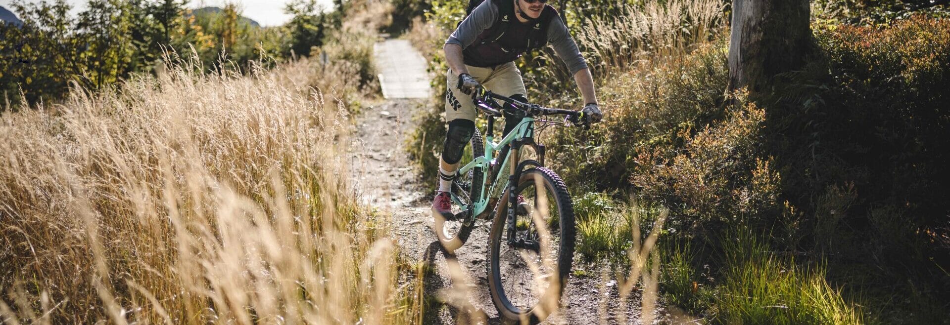
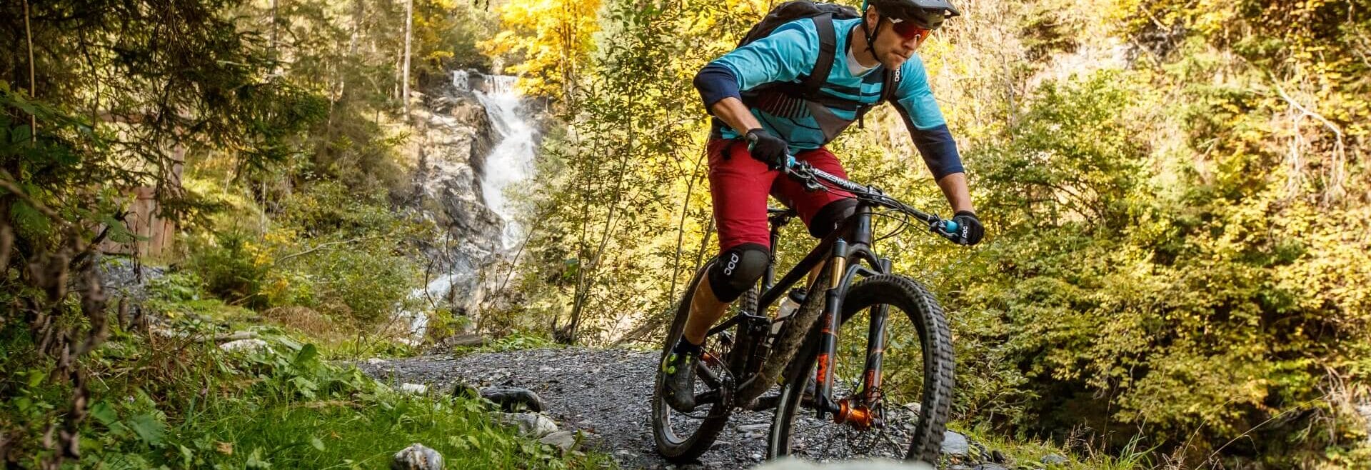
Exploring the trails and parks on a freeride bike undeniably ranks among the most thrilling and varied activities that biking enthusiasts can engage in SalzburgerLand. Here are our top 3 picks of trails in our regions.
„SAALBACH-HINTERGLEMM“
MONTI-LINE – EASY
Formerly known as the Milka Line, this one is a beginner-friendly and wide trail spanning 3.2 km and climbing 380 meters in elevation. It features wide turns, flat wooden structures, gentle waves, and tables that allow for initial jumps – perfect for freeride beginners and kids.
THE X_LINE AT SCHATTBERG – DIFFICULT
A natural trail that traverses meadows, rocky terrain and forest paths. Peppered with numerous jumps, steep curves, and challenging sections full of roots and technical obstacles. A true delight for experienced bikers, including special sections for professionals. This line is among the longest freeride trails in Europe, offering uninterrupted action over 6.5 km in length and 1025 meters in elevation.
BIG-5-CHALLENGE
For adventurers looking to push their limits while mountain biking and tackle extraordinary challenges, the 56 kilometer long ‘5 Gondola XXL Freeride Tour’ connecting Saalbach Hinterglemm and Leogang is perfect. The tour offers a total of 5,000 meters in elevation gain and includes numerous trails in both regions.
For more information about the trails in Saalbach Hinterglemm, check out the interactive trail map.

„THE EPIC BIKEPARK LEOGANG“
STEINBERG LINE BY FOX (SINGLE TRAIL) – EASY
A smooth, 10 km long trail featuring easy-to-ride steep curves and turns, offering a unique view of the Leogang Steinberge – suitable for rookies as well as professionals. Nearly 1000 meters in elevation gain await you here.
SPEEDSTER (DOWNHILL/ WORLD CHAMPIONSHIP TRACK) – DIFFICULT
With a length of 2.3 km and 470 meters in elevation gain, this route presents itself as the most technically challenging trail – a mix of steep downhill sections, tight switchbacks, root-covered segments, and fast areas. Among them is the new section “VALI’S HÖLLE” (0.9 km, 169 m elevation gain), built specifically for the UCI Mountain Bike World Championships 2020 and named after local hero Valentina Höll. It was here during training for the final of her Elite World Championship debut in 2020 that she unfortunately suffered a crash, preventing her participation.
ALTE SCHMIEDE TRAIL – MODERATE
The start of the newly inaugurated AlteSchmiede Trail is located on the Asitz, where it branches off to the right after about 350 meters. The trail, situated outside the bike park, continues as a single trail, occasionally offering spectacular views of the majestic Leoganger Steinberge massif, through untouched forest sections and across alpine meadows. Ideal for taking breathtaking photos. The trail offers a diverse mix of flowing curves, Northshore elements, and slightly challenging technical sections, promising varied and maximum riding enjoyment. The AlteSchmiede Trail is divided into five different sections, each with its own charm. From 2024 onwards, it is open every year from June 1st to October 15th.
For more information about the routes in The Epic Bikepark, please visit their website.
„BIKE-ARENA FIEBERBRUNN“
SCHWEINESTBERG TRAIL I+II
The Schweinestberg Trail I takes bikers on a 4 km long route of moderate difficulty southeast from Streuböden, over a wooded ridge, and back into the valley. With North Shores, undulating sections, plenty of curves, and a wide track, riders are rewarded with broad grins! Slightly more technically challenging is the newly opened Schweinestberg Trail II in 2023. Stretching 1 kilometer with a medium difficulty level marked as red with a rating of S2, it offers an exciting challenge. The adventure begins also at Streuböden, directly behind the reservoir, winding its way to the middle of Schweinestberg, seamlessly transitioning into Schweinestberg Trail I.
Head to the Bike Arena Fieberbrunn for these trails.
„SAZBURGER SAALACHTAL“
GRABNERALM TRAIL – MODERATE
Compact and challenging, the trail bears resemblance to the rocky paths of Logo di Garda – pure joy in dry conditions and a demanding challenge when wet. With its 2.5 km length and 200 meters elevation gain, it fits perfectly as an optional route into the 26 km long “Panorama Runde” around the Dietrichshorn, especially as the final descent between Liedersberg and Reitbrücke.
WETTERKREUZ TRAIL SALZBURGER SAALACHTAL – MODERATE
The trail follows an old alpine path and offers incomparable views of the Reither and Loferer Steinberge. Spanning just under two kilometers, it descends from the Wetterkreuz, passing roots and stones, and presents small technical challenges. A “fair play” rule ensures that both bikers and hikers can equally enjoy the new path. This trail is part of the 19-kilometer Wetterkreuz Trail circuit.
For more information, visit the official website of Salzburger Saalachtal.

„HOCHKÖNIG“
FLOW ONE (FLOWTRAIL NATRUN) – EASY
The very first MTB flow trail in the Hochkönig Region guarantees pure riding pleasure. With a length of 3.3 km, the trail begins at the mountain station of the new Natrun cable car in Maria Alm and is perfect for beginners and families. For singletrail pros, the more than 300 meters of elevation offer a relaxed riding experience!
FLOW TRAIL HOCHKÖNIG – EASY
The newly constructed natural flow trail in Dienten am Hochkönig stretches over 4.2 kilometers and climbs 540 meters in elevation – a guaranteed action-packed fun for the whole family! The starting point is below the reservoir at Bürglalm at an altitude of about 1,500 meters and descends to 950 meters above sea level at the football field in Dienten. For convenient access to Bürglalm, we recommend using the Bürglalmbahn, which is also equipped for bike transport!
HANI & MARIEDL TRAIL – MODERATE
The starting point for this adventure in Dienten am Hochkönig is the leisurely ascent with the Bürglalm chairlift, which, in addition to bike transport, offers breathtaking views of the Hochkönig. The two trails, characterized by root sections and narrow curves, challenge bikers. A short distance must be covered pushing between the Nani & Mariedl Trail, resulting in an exciting, moderately difficult trail loop. At the end, you reach the federal road (B164) and follow the local road Reizegg back to the ski center.
For more information, visit the Hochkönig website.

„ZELL AM SEE-KAPRUN“
FLOWTRAIL MAISKOGEL – EASY
The flow trail at Maiskogel spans a length of 4.6 km. It starts at the Maiskogel mountain station, located at 1,570 meters above sea level, and winds its way down to the Maiskogel middle station at 1,137 meters with a combination of wide and narrow banked curves, waves, and smaller jumps.
GEISS-STEIN TRAIL – MODERATE
The Geissstein Trail is designed for downhill enthusiasts who love speed and prefer a technically less challenging but flowy route. It begins at the Alpincenter Kitzsteinhorn at 2,450 meters above sea level and winds its way over a distance of around three kilometers – half of which provides pure trail enjoyment – down to Langwiedboden at 1,978 meters. Langwiedboden and the Alpincenter are conveniently connected by cable cars, making the route particularly accessible. The trail covers a total of 3.1 kilometers and climbs 500 meters in elevation.
WÜSTLAU TRAIL – DIFFICULT
The Wüstlau Trail primarily appeals to solid technicians and is less focused on high speeds. The route is characterized by numerous hairpin turns that require confident bike handling. The trail starts at Langwiedboden at 1,978 meters above sea level and descends to Wüstlau at 871 meters. Of the total nearly eight kilometers, four kilometers are pure singletrack, offering an authentic and technically challenging natural experience. For those craving more, the valley floor provides quick access to the valley station of the Glacier Lift at 911 meters above sea level to repeat the adventure. Overall, the trail measures 7.7 kilometers and climbs 1,070 meters in elevation.
Information can be found on the Kitzsteinhorn website.
„WAGRAIN-KLEINARL“
HIRSCHLEITENTRAIL KLEINARL – MODERATE
The trail begins approximately 300 meters below the Kleinarler Hütte or the Kurzeggalm. Starting as a leisurely path across the alpine meadows, it transforms into a challenging root carpet in the lower section. With a length of 3 km and an elevation difference of 400 meters, the trail offers an intense experience. By choosing the “direct descent” to Kleinarl, the 25-kilometer Kleinarler circuit can be significantly shortened, making the trail an attractive option for those looking to efficiently descend into the valley.
SHARED TRAIL PENKKOPF – EASY
The 2.8 km trail, climbing 155 meters, connects the Kleinarler Hütte and Kurzeggalm.
PUMP TRAIL – EASY
Starting at the Lumberjack Hütte, the trail runs alongside the forest road down to the Kleinarltal. Along the way, riders encounter short, pump track-like waves, ideal for testing and practicing.
For more information, visit the Wagrain-Kleinarl website.
„GASTEIN“
BERTAHOF TRAIL
The first single trail in the Gastein Valley! Starting near the Streitberghof between Bad Gastein and Bad Hofgastein. At the beginning, it’s moderately steep under the Tauern Railway – then, very enjoyable with good flow through the forest. Towards the end, it becomes briefly more technical! By the way, the trail ends near the Gastein bathing lake! 830 m, 200 m elevation gain.
For more information, head to the Gastein Valley.
„GROSSARLTAL - TAL DER ALMEN“
SINGLETRAIL GROSSARLTAL II – MODERATE
The Family-Flowtrail, newly constructed in 2019 in Großarltal. With its gentle slope averaging 10% and numerous banked curves, the trail is suitable for skilled beginners and leisure riders. It merges with the existing Singletrail Großarltal I at the middle station of the Kieserlbahn.
SINGLETRAIL GROSSARLTAL I – MODERATE
The trail, newly constructed in 2017, descends from the middle station of the Kieserlbahn through forests and over mountain meadows down to Großarl. (3.3 km, 450 m elevation gain). Together, the two trails offer 10 kilometers and 1000 meters of trail fun!
BIKEPARK PANORAMA
Located directly on the cycle path in Großarl, the Bikepark Panorama offers an ideal environment for bike enthusiasts. With lines of varying difficulty levels, the park is perfect for improving riding techniques, learning new skills, and having lots of fun. It provides an excellent platform to get a better feel for the bike and the trails and to prepare optimally for singletrail rides or various mountain bike tours.
Our tip for Großarltal:
E-Trial Park near the Alpentaverne close to the mountain middle station.